Welcome to Driehoek Cederberg
Accommodation at Driehoek
From R1,510 / per night
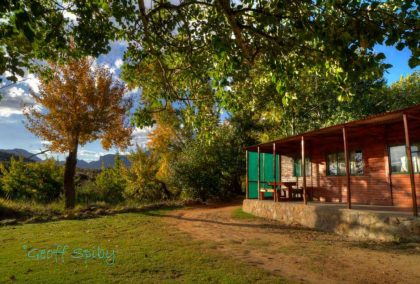
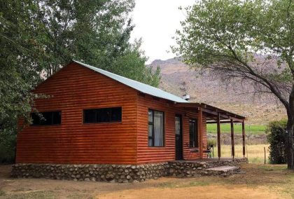
Gecko Hut 5
Maximum 4 peopleFrom R1,510 / per night
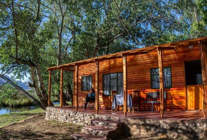
River Cottage
Maximum 4 peopleFrom R690 / per night
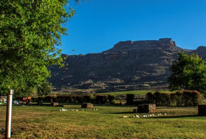
Camping
Maximum 6 people per siteFrom R1,650 / per night
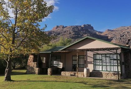
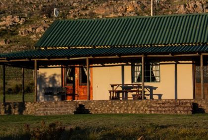
Groothuis
Sleeps 10From R1,650 / per night
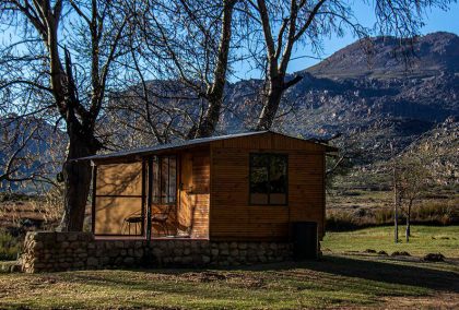
Hut 4
Sleeps 2-3 adults or 2 adults / 2 small childrenFrom R980 / per night
Basic Hut 3
Sleeps 2 Adults OnlyFrom R1,650 / per night
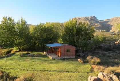
Kothuis
Maximum 6 PeopleFrom R1,510 / per night
Gecko Hut 6
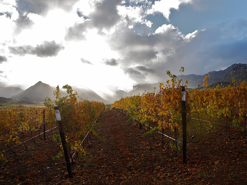
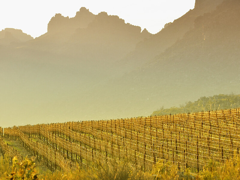
Maximum 4 peopleDriehoek’s Wine
For direct private orders send an e-mail to [email protected] for a price and product list. All the Driehoek wines can be bought on the farm at reception.
 |
 |
No drones permitted unless arranged with the particular landowner.